Accurate data for confident decisions
The Best Reliable Industry Solution
About Us
We are a team of surveyors, engineers, and spatial analysts who turn raw measurements into knowledge that people can act on.Our work brings together classical geodesy and today’s digital mapping technologies.From drones scanning remote valleys to LiDAR capturing the shape of a structure down to the millimeter, we document the world so it can be built, restored, or protected with confidence.We approach every project the same way: measure carefully, process honestly, and deliver data that stands up to scrutiny. Whether it’s engineering surveys, agricultural analysis, or cadastral mapping, we focus on accuracy that lasts beyond the job itself.
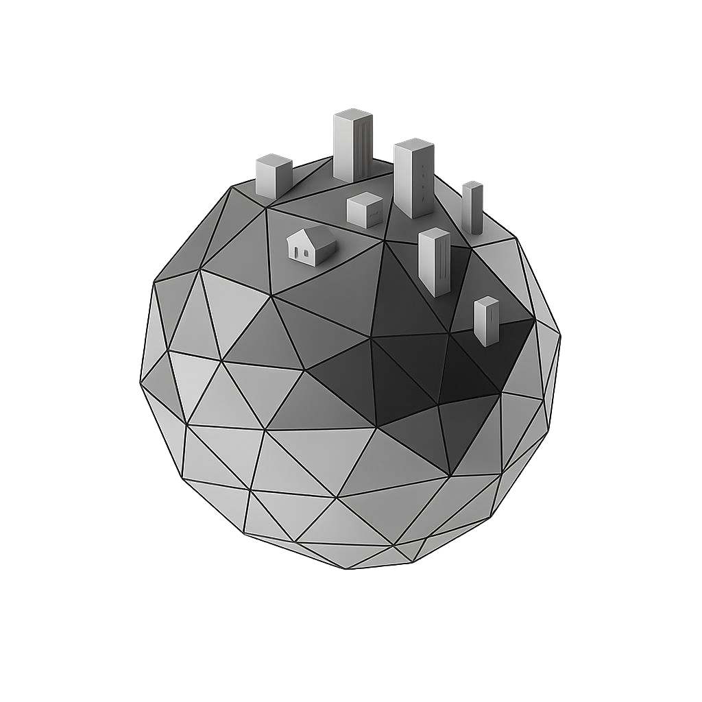
Land and engineering surveys for infrastructure and planning
UAV and photogrammetric mapping for fast, detailed coverage
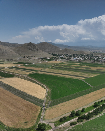
Multispectral analysis for agriculture and environmental monitoring
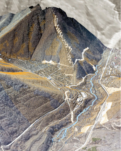
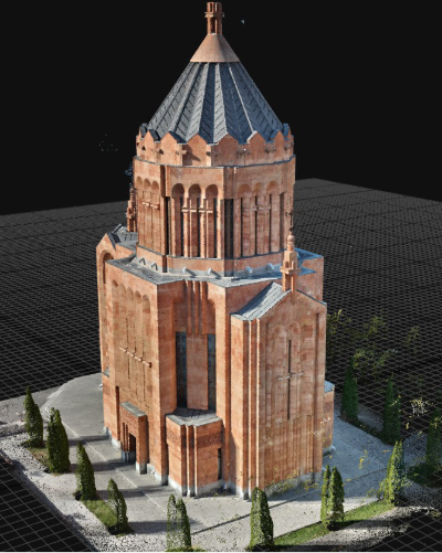
LiDAR scanning and 3D reconstruction for built and natural terrain
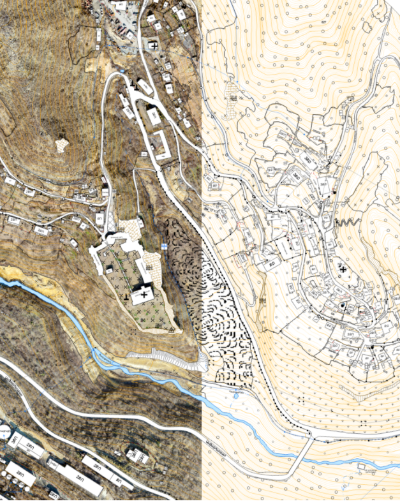
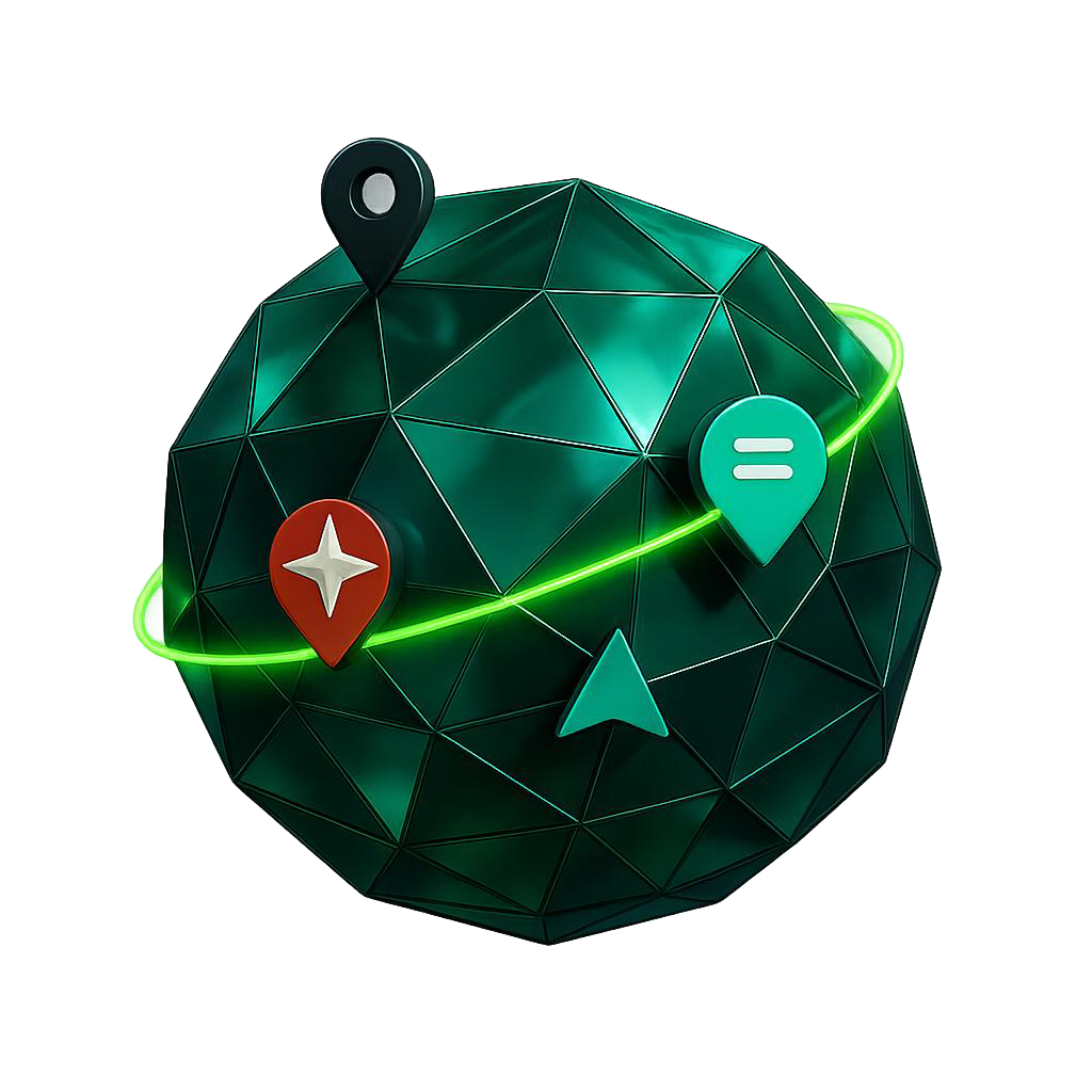
Parcel mapping and spatial data for land documentation
Email us
Call us
Our Services
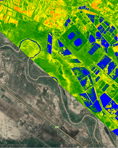
Using multispectral and RGB drone sensors, we monitor crop vigor, soil variability, and vegetation cover.By combining spectral indices with ground-truth validation, we identify irrigation inefficiencies, stress zones, and nutrient imbalances.This information supports precision agriculture, helping optimize inputs and improve field performance season after season.
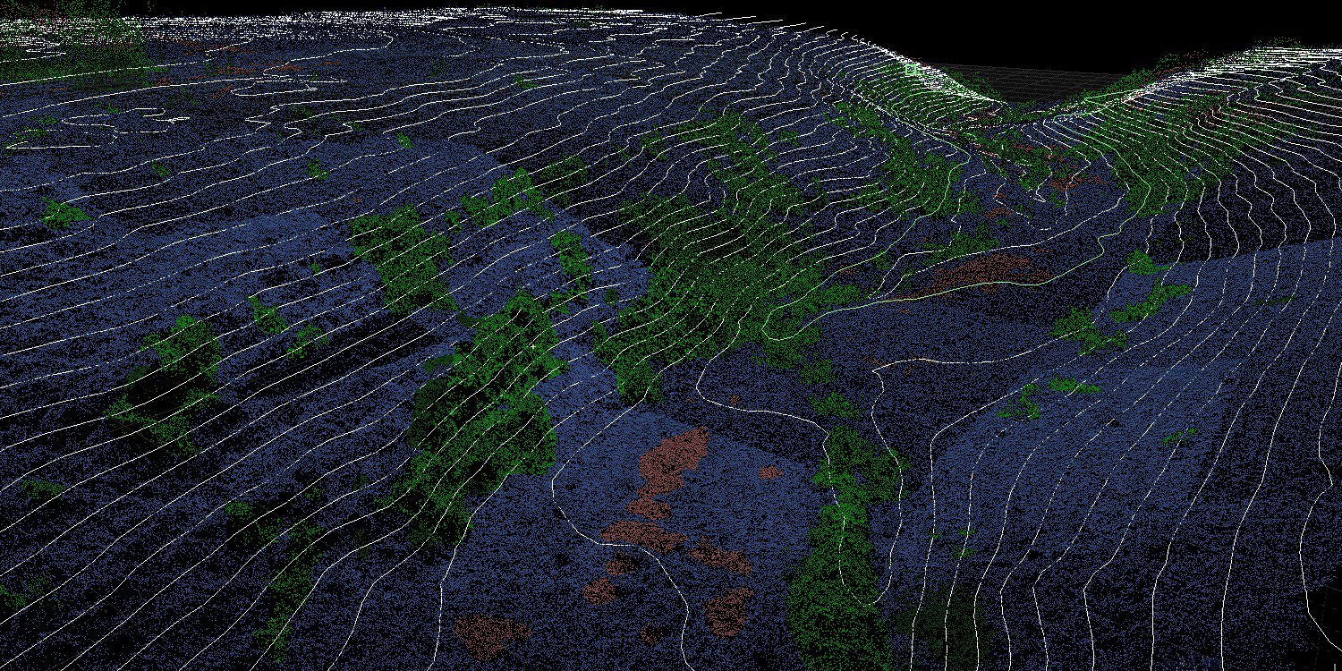
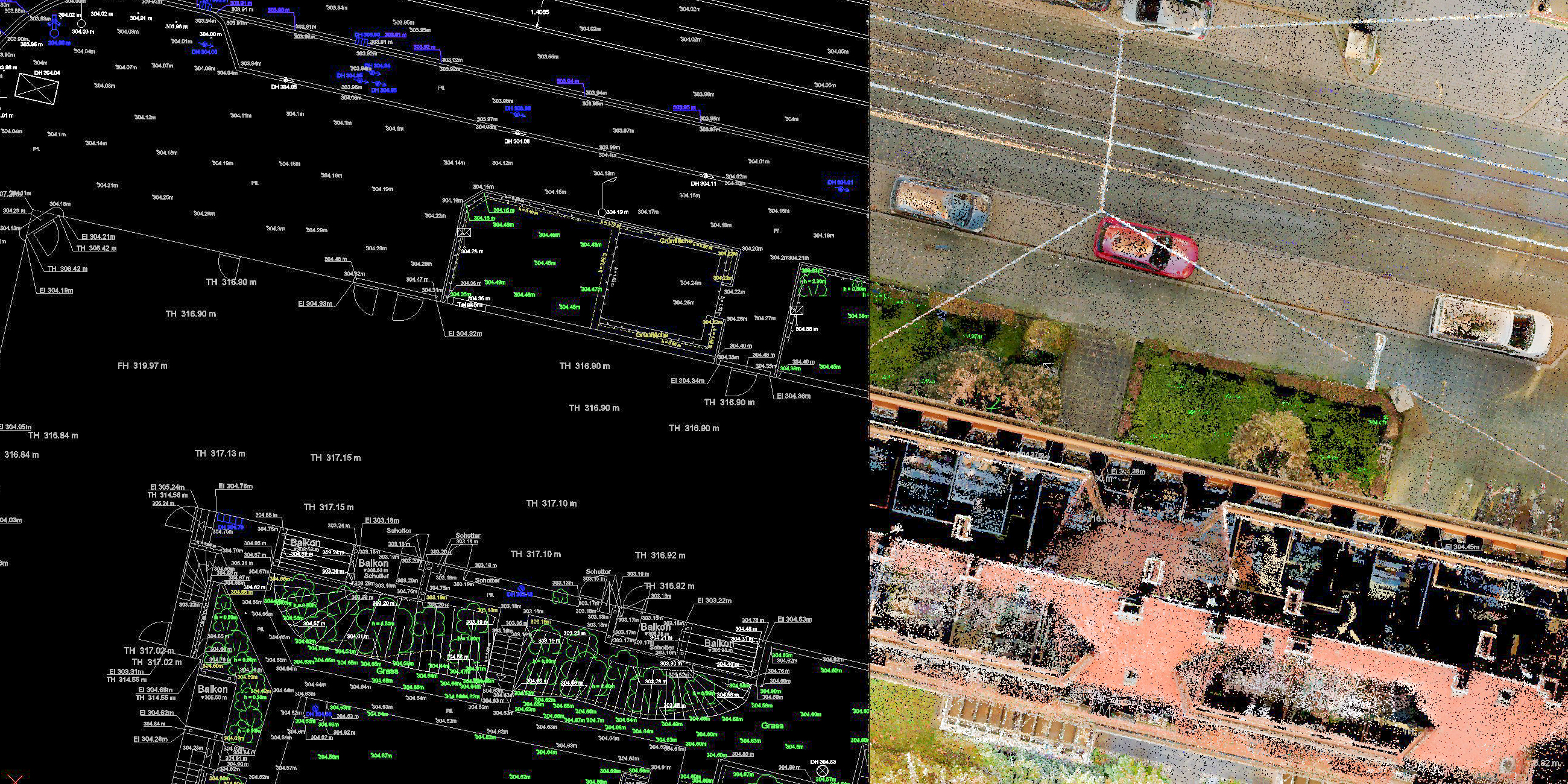
We use terrestrial and aerial LiDAR systems to capture dense 3D point clouds for terrain, structures, and vegetation.This technology is ideal for engineering design, slope analysis, and digital documentation of built or natural environments.LiDAR data enhances detail, accuracy, and reliability where imagery alone is not enough.Each survey ensures that boundary data is clear, verifiable, and ready for submission to administrative or engineering systems.Our deliverables integrate seamlessly into GIS and planning workflows.
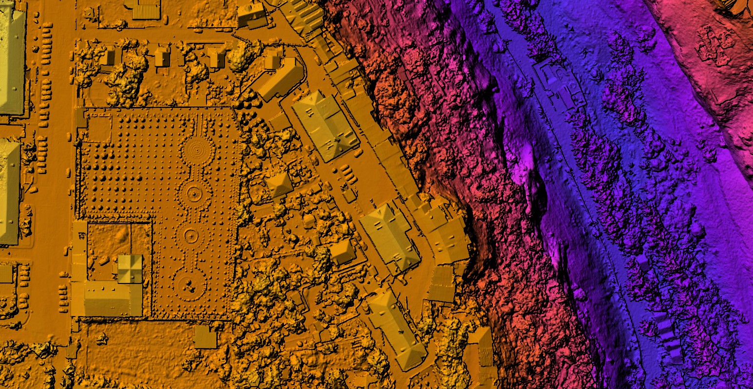
Our GIS team processes spatial data into maps, models, and analytical layers that support long-term planning and monitoring.We analyze land cover, detect change, and visualize environmental trends to assist decision-makers in managing natural and built assets effectively.
Our Projects
Copyright © GeoPix LLC, All Right Reserved.
Designed By՝ HTML Codex Distributed By:՝ ThemeWagon